Abstract
This article is devoted to the current state of the climate of Kazakhstan and changes in climate components for every 10 years, from 1941 to 2018 inclusively. The changes are considered as average annual temperatures, average annual precipitation, the share of extreme precipitation, daily maximum temperatures, the total duration of heat waves, the ratio of frosty, hot and rainless days. The article also provides a brief analysis of the current state of geoinformational systems, their relevance in solving problems and challenges of the modem world. The author considers the ArcGIS software package, its ability to work with various databases and the use of this geographic information system for the analysis of climate data. ArcGIS is able to create thematic maps to simplify meteorological forecasting, be an analytical system to identify patterns, study changes, their causes and consequences, and act as an accounting system to record the current state.
Introduction
Thousands of different organizations and hundreds and thousands of individual consumers use GIS technologies today. They increasingly help to solve the modem world issues and challenges facing people and society more qualitatively and professionally, and to facilitate information interaction in organizations and the global perspective [1].
Of course, global climate change is considered to be one of the urgent problems. In addition, Kazakhstan is not the exception in this case.
According to the annual monitoring Bulletin OfKazakhstan, climate change and state of RSE «Kazhydromet» there for the period 1941-2017 is the average yearly air temperature increase at 0.34°C for 10 years.
There is the greatest air temperature increase over the past 40 years in the spring (0.67 oC for 10 years), and the smallest and statistically insignificant in the winter (0.13°C for 10 years).
According to many experts, global climate change has become more intense since the mid - the 1970s. During the period 1976 - 2017, some stations recorded a significant increase in daily maximum air temperature at 0.41-0.90°C over 10 years. There is a significant decrease of 0.37°C over 10 years and 0.73°C over 10 years at Zharkent and Balkashino stations.
There is a significant trend of increasing the number of days with the air temperature above 35°C for 4-8 days every 10 years in West Kazakhstan, Aktobe, Atyrau, Mangistau, Kyzylorda, South Kazakhstan regions. The total duration of heatwaves increases by 6-10 days in 10 years almost the entire territory OfKazakhstan. In addition, there is a reduction in the frequency of frost days: 3-8 days every 10 years everywhere [2]. There were significant changes in the precipitation regime at some stations in Kazakhstan. The downward trend in drought season by 1-5 days in 10 years were in the Northern and Northeastern regions, in the South and Southeast of the Republic. A significant increase in the maximum daily rainfall quantity amounted to 0.7-1.5 mm over 10 years at Culligan, Atyrau, Bektauata and Bayan stations. A significant increase of the extreme precipitation share by 1.38-1.46% over 10 years was observed at the weather stations of Bakty and Karaganda, and its decrease at the stations of Turar Ryskulov, Tayynshi and Ayagoz aul (1.02-2.41% over 10 years). We can observe these climate changes due to the monitoring of hydro meteorological stations in Kazakhstan.
Constant observations are the main aspect of climate study since ancient times. This fact is evidenced by some ancient records, Chronicles, books-descriptions of travelers, navigators, etc. modern geoinformation technologies play an increasingly major role nowadays due to monitoring functionality [4].
It is possible to create thematic maps based on the geographic information system, its various components, databases, individual applications, as well as numerous technological means of data collection and dissemination. It is important to use ArcGIS software to create weather maps.
ArcGIS software is a versatile tool for producing, processing, and documenting various types of maps [3].
It allows the creation of meteorological maps in any cartographic projection and at any scale using data distributed over the WMO (world meteorological organization) global telecommunication network, via the Internet, as well as satellite images, radar sensing data and others, which contributes to the organization of the hydrometeorological centre of any rank.
ArcGIS automatically or interactively prepares multiple layers of information against the background of a geographic map of any scale and location using various components in an advanced prepared scenario. This combination of layers allows the weatherman to provide «paperless» technology to analyze and forecast the weather.
It has the sense to highlight the following features that provide us with this software package to:
- build a trajectory model on the map based on actual and prognostic data (Fig. 2);
- select meteorological parameters from the database and map them in various forms (values, isolines, punches, colour field, etc.) (Fig. 1);
- select and map in various forms montages from images of meteorological satellites of the Earth;
- draw front lines and other types of lines on the map;
- generate accompanying text to the map;
- map the names of cities and/or indexes of weather stations;
- remember the cards made for use in future work;
- build maps automatically on a given schedule;
- adjust the questionable data on the map;
- output cards to the printer.
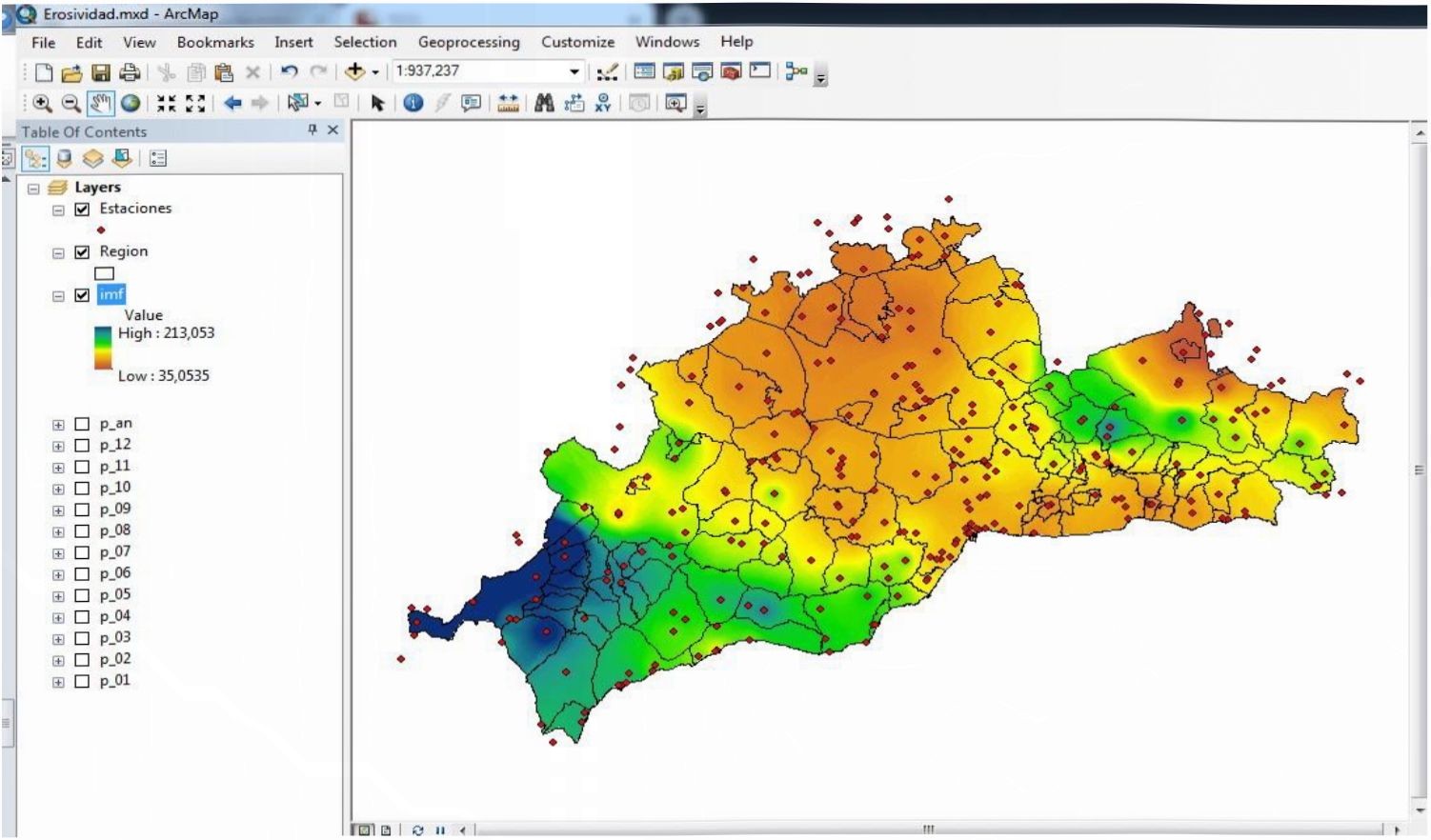
Figure 1 Calculation of solar radiation in ArcGIS

Figure 2 Forecasting thunderstorms with ArcGIS
Conclusion
Thus, ArcGIS, on the one hand, can act as an accounting system for recording the current state of affairs, and on the other hand, be an analytical system for identifying patterns, studying changes, their causes and consequences. All this will help to process huge amounts of climate data, visualize them, and distribute them around the world for a more accurate forecast of changes in the global climate, as well as individual areas and regions, which will also help in various sectors of the economy in the future. In sum, all this makes it possible to organize a highly efficient technology of operational hydrometeorological support at very low costs for its operation.
References:
- Anan'ev Ju.S. Geoinfonnacionnye sistemy. Ucheb. Posobie. - Tomsk: Izd. TPU, 2003. - 70 s.
- Ezhegodnyj bjulleten' Inonitoringa klimata Kazalistana: 2018 god. - Astana: Ministerstvo о Iirany Okmzliajusliliej sredy Respubliki Kazalistan. RGP «Kazgidromet», 2018. - 32 s.
- Sliipulin V.D. Vvedenie v ispol'zovanie ArcGIS / Ucliebno-Inetodiclieskoe posobie. - Har'kov: HNAGH. 2005. -9 s.
- Hodzhaeva G.K. Meteorologicheskie melody i pribory nabljudenij: Uchebnoe posobie. - Nizlinevartovsk: Izd-vo Nizhnevart. gos. un-ta. 2013. - 189 s.